Rivers and coastlines can both flood from storms and other events that bring unusually large quantities of water to an area. Check out this story about flooding in a river from glacial water. Coastal floods are caused when storms move across the ocean and push water up on the beach, which is called storm surge. Flooding can get worse from waves running up the beach. Sea ice can minimize coastal flooding by providing a barrier to waves and surge. Storm surge, wave runup, and tides all add up to the height of flooding that could get your feet wet!
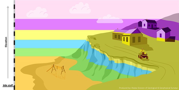
Scientists use models of the ocean and weather to forecast how high water might get. By connecting the water level forecast with the elevations of land, houses, roads, and beaches, local individuals get an idea of where flooding might occur and how to respond.

The different colored bands in this image show how high water will get during a flooding event. For example, the highest dark pink band shows that the uppermost houses on the hill will be flooded as well as anything down lower.
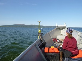
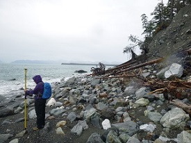
Providing accurate forecasts of floods requires mapping the ocean and land around a community and monitoring waves, tides, and storm surge through time. Mapping can be done from the air, a boat, or even by walking on the beach! Find out more information about flooding here.

Collecting the elevation of the ocean floor from a boat in Golovin.

Collecting the elevations of the beach in Yakutat.