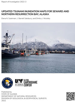
Suleimani, E.N., Salisbury, J.B., and Nicolsky, D.J., 2022, Updated tsunami inundation maps for Seward and northern Resurrection Bay, Alaska: Alaska Division of Geological & Geophysical Surveys Report of Investigation 2022-3, 51 p., 4 sheets. https://doi.org/10.14509/30893
 Report Information
 Maps & Other Oversized Sheets
 Geospatial & Analytical Data
| Updated tsunami inundation maps for Seward and northern Resurrection Bay | Data File Format | File Size | Info |
|---|---|---|---|
| Download ri2022_003_updated-tsunami-inundation-maps-seward | Shapefile | 6.9 M | Metadata - Read me |
Active Fault; Bathymetry; Bear Creek; Blying Sound; Box Canyon Creek; Caines Head; Clear Creek; Coastal; Coastal and River; Derby Cove; DGGS; Earthquake; Earthquake Related Slope Failure; Emergency Preparedness; Engineering; Engineering Geology; Fault Displacement; Faulting; Faults; First Lake; Flood; Fourth of July Creek; Geologic; Geologic Hazards; Geological Process; Geology; Geomorphology; geoscientificInformation; Geotechnical; Hat Island; Hazards; Humpy Cove; Inundation; Land Subsidence; Landslide; Likes Creek; Lost Creek; Lowell Creek; Lowell Point; Marine; Marine Geology; Modeling; Neotectonics; Outreach; Preachers Pond; Resurrection Bay; Resurrection River; Salmon Creek; Sawmill Creek; Scheffler Creek; Second Lake; Seismic Hazards; Seismic Interpretation; Seismology; Seward; Slope Instability; Spring Creek; Spruce Creek; Subsidence; Subsurface; Surface; Surface Fault Rupture; Surficial; Surficial Geology; Tectonics; Thumb Cove; Tonsina Creek; Tonsina Point; Tsunami